A spreadsheet of trips is a record. A map is a portrait. Same data, completely different thing to look at — and only one of them tells you something you didn't already know.
Why the map wins
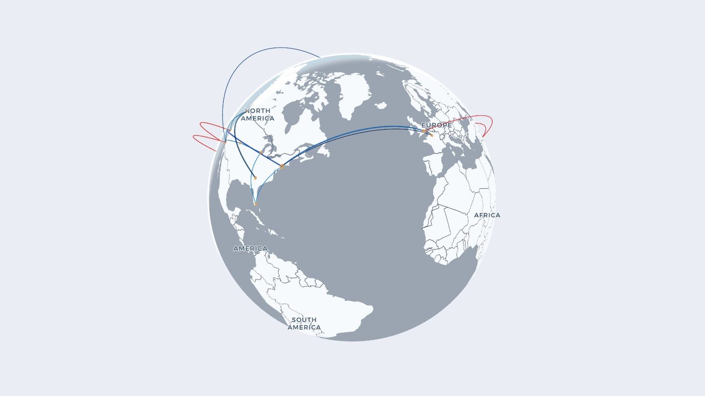
A list is impossible to feel. It has no shape, no density, no gaps. Drawn out, the same flights turn into something you can read at a glance: the corridor you've flown thirty times, the one trip that reaches across an ocean, the whole continent you've somehow never landed in.
Think in routes, not destinations
This is the one mental shift that makes building a travel map easy.
- A map is built from legs. Each one is a departure and an arrival. A round trip is two of them, not one.
- Connections count. Drawing the stopover is what gives a long trip its real, kinked shape instead of a single straight line.
- Start with the memorable ones. The big trips set the outline of the map immediately, which makes filling in the rest far more satisfying.
Then style it so it's yours
- Globe or flat. A globe suits long-haul history — the arcs curve the way real routes do, over the pole rather than across the middle of a rectangle. A flat map reads like a classic wall map and is better if most of your flying stays in one region.
- Colour by airline. Each carrier gets its own shade, and the map turns into a record of who you fly as well as where.
- Tune the weight. Thin lines and small dots for a dense map; heavier ones if you've got twenty legs and want them to carry the frame.
- Watch it replay. Playing the map back in date order turns a static picture into a short story about a decade.
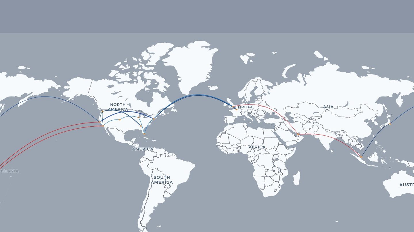
Busy maps look best with thin routes and a dark base style. Sparse maps can carry thicker arcs and a lighter background without feeling empty.
Make it shareable
Once it looks right, there are three ways out: a share link, where whoever opens it watches your map replay from the first flight; an animated GIF of the globe turning, which is the one that ends up in group chats; or simply the live map, open on a screen.
Turn your trips into a picture
Build an interactive map of everywhere you've flown, free.
Open RoutesFlown →Keep reading: How to map every flight you've flown · Example flight maps